


 8 / 52

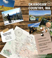
The North Okanogan
is a geological jewel and a secret
treasure to hosts of outdoor adventurers (both motor
and muscle powered), as well as nature lovers and history
buffs. It includes the Many Lakes Region on the west side
of the Okanogan River and the Okanogan Highlands on
the east side. The Many Lakes Loop Map will guide you
through this area of both remote and easily accessible
lakes and trails, providing excellent fishing, hiking and
camping. Drive the Highland Historic Loop and discover
a land rich in farming, mining and logging history. From
the Okanogan River valley up through open grasslands
and forested mountains, this route includes a variety
of ghost towns, scenic views, trails and fishing lakes.
TONASKET:
Tonasket has an abundance of antique shops,
a great selection of restaurants, parks and opportunities for
hiking, biking, climbing, fishing and water sport adventures.
The visitor’s information center (and gallery) is located on
the main street beside Founder’s Park and the district office
for the Forest Service is at the north end of town.
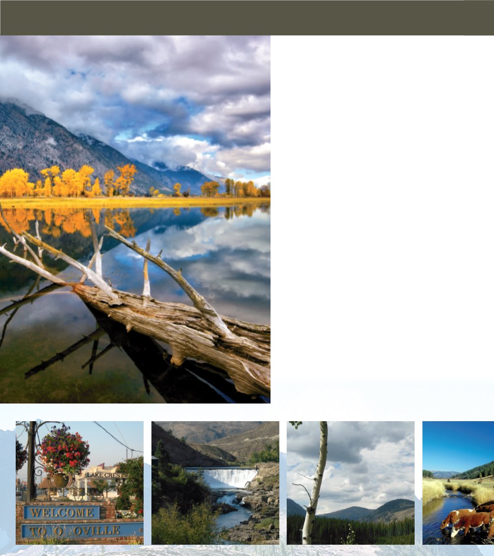
OROVILLE:
A few miles south of the 24-hour Canadian
border crossing, Oroville has an abundance of historic
and recreational opportunities - with Molson and
Chesaw to the east and Nighthawk (a small 9 to 5 border
crossing) and Palmer Lake and Loomis to the west.
Oroville has the distinction of being the mid-point of the
1200 mile Pacific Northwest Trail (PNT).
REPUBLIC:
Forty miles east of Tonasket on Hwy 20,
Republic was known as “Eureka Gulch” in 1896, and a
prolific gold mining town for 100 years, Republic is home
to the Stonerose Interpretive Center. Here you can
explore and dig your own fossils from the 50
million-year-old Boot Hill Fossil Site.
C
hopaka
L
ake
O
roville
,WA
S
imilkameen
R
iver
E
ntering
the
P
asayten
8
REGIONS: North Okanogan